Where We Live: Mapping Neighborhoods of Kids Around the Globe
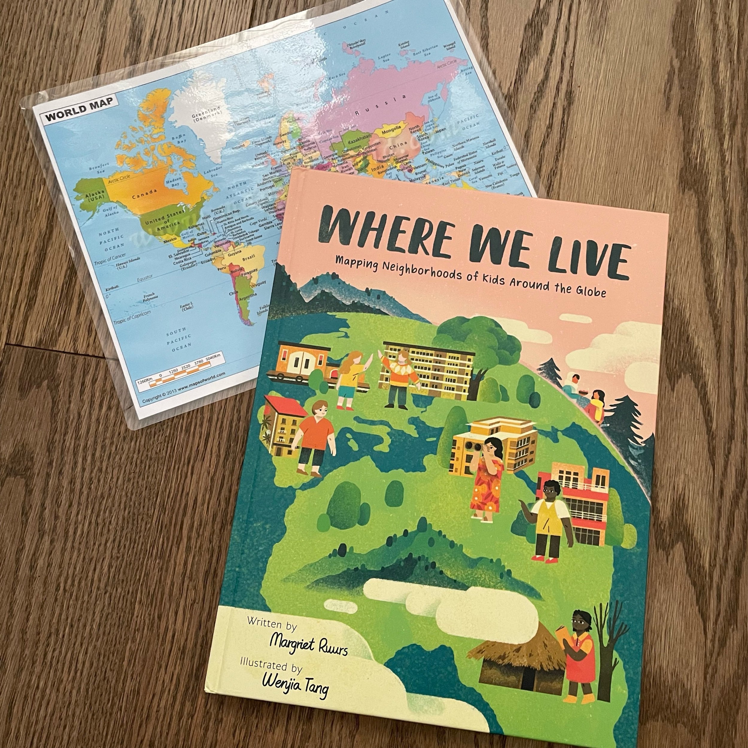
Have you ever been interested in how other children live? Margriet Ruurs and Wenjia Tang have just the answer for readers in Where We Live: Mapping Neighborhoods of Kids Around the Globe.
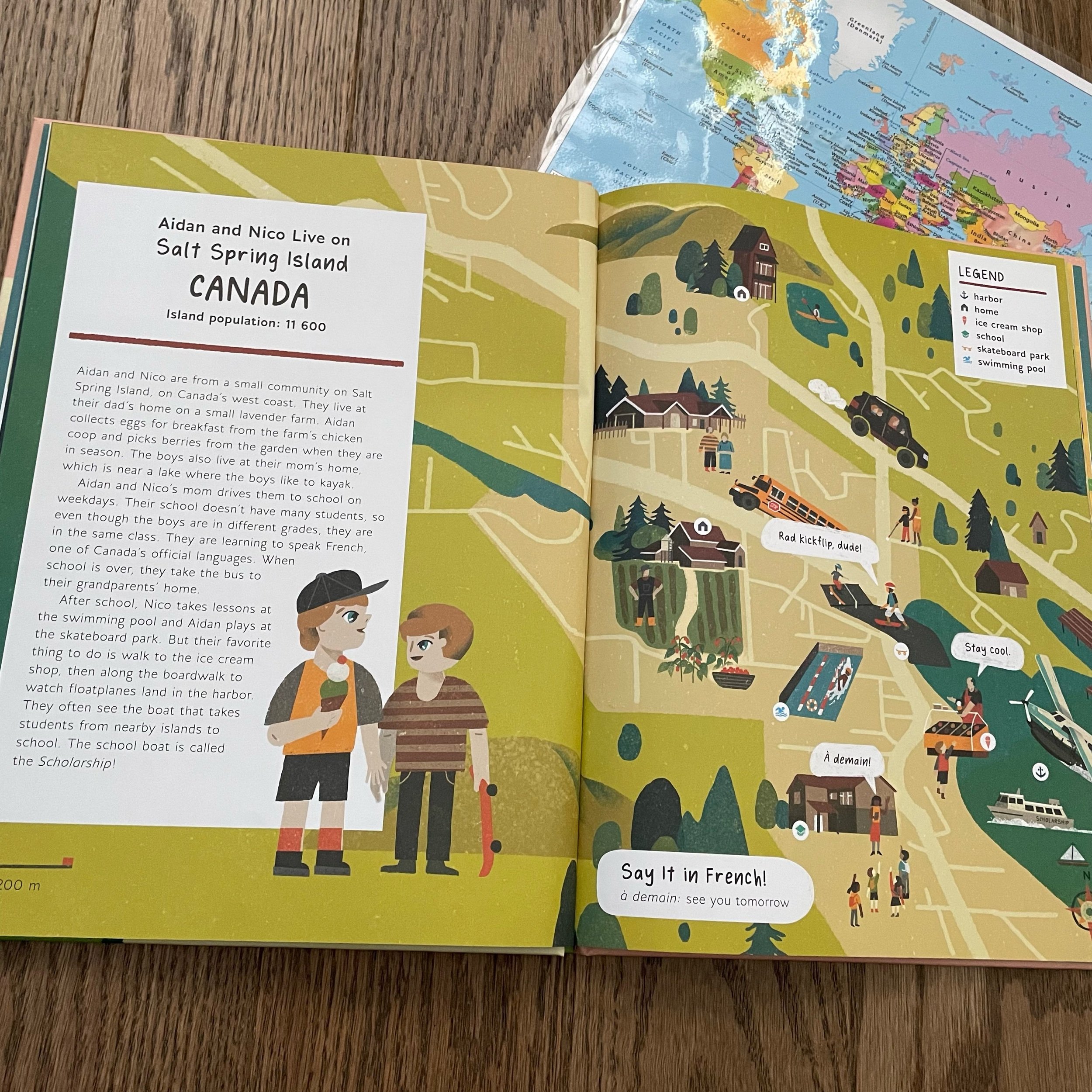
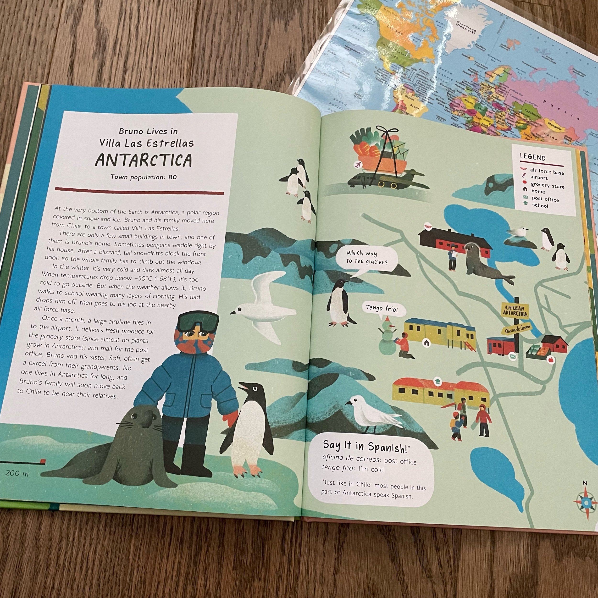
In this middle grade nonfiction book, Margriet Ruurs takes readers around the world, literally, to find out more about how children live. Each two page spread is dedicated to one child and where they live. Margriet Ruurs takes readers to cities, towns, villages and even to a settlement in Antarctica! There is a map of each child’s hometown and a little bit about their day to day lives.
This book has totally blown me away! It’s extensively researched and involved interviews with the children featured in this book. Along with visits to many of the places featured, Margriet Ruurs used many online tools to ensure the accuracy of the maps included in the book. I LOVE how each place featured contains a map for readers to get a real sense of where these children live. The map is complete with a legend so readers can identify the different landmarks in each place.
The endpapers feature a map of the world with each place located so that readers can get a sense of where each place is located on the globe. Then they get to drill down, like zooming in on Google Maps to see the detail in each place. We learn that there are many different ways that children live. Families all look a little different, just like the communities, but there are many things they share in common, like a love of ice cream!
Wenjia Teng’s illustrations are incredible. They are engaging and will inspire readers to create maps of their own communities. There are vibrant colours and many different people represented. The illustrations are detailed enough to keep readers coming back for new discoveries but also simple enough not to overwhelm.
Where We Live is definitely a book to add to school bookshelves!
